Scenic Rides & Drives: Paardepoort and Mount Hope
This scenic gem of a road is little known, and for several reasons. But it is just this, its lesser known status, that makes it extra special. You can go slower, enjoy the surroundings and even have a swim and a braai!
The route starts just north of the little village of Herold, tucked into the Outeniqua Mountains.
Paardepoort forms a natural northern extension of the historic Montagu Pass, linking the mountain country around George with the Klein Karoo.
Perhaps it is the splendour of the famous Montagu Pass that has kept Paardepoort relatively unknown.
But that is part of its appeal.
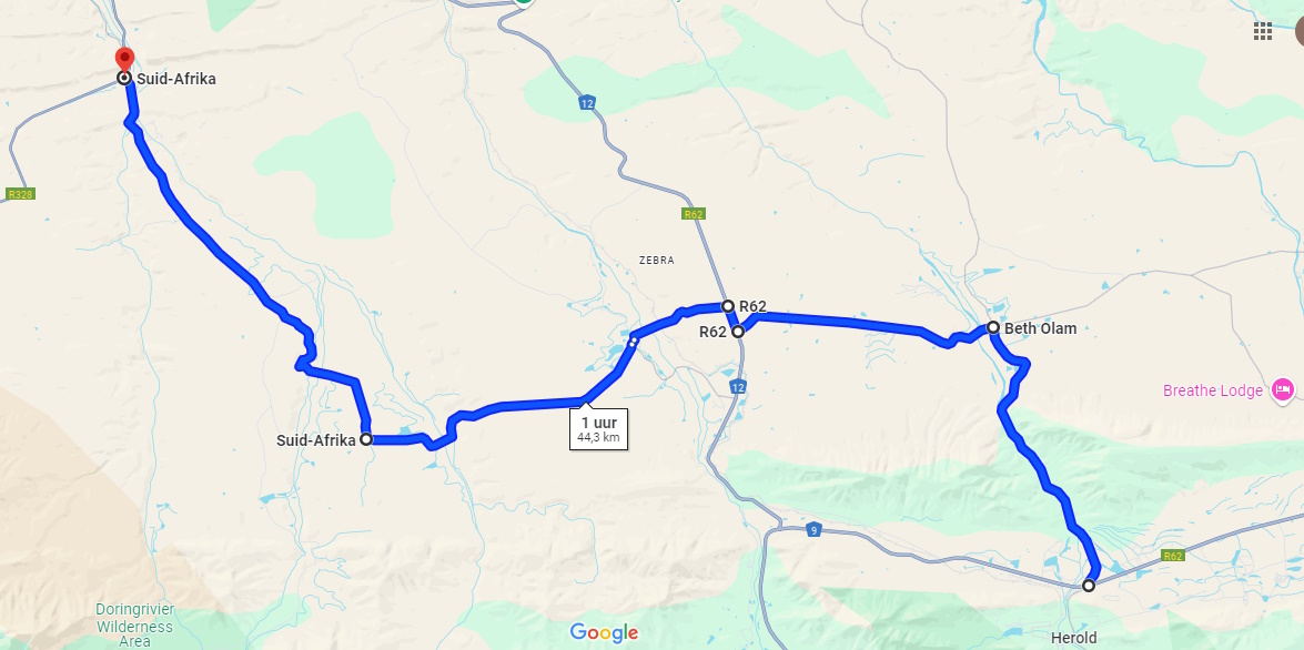
Our featured route is just over 44 km long and takes approximately an hour to drive without stopping. Of course, that rather defeats the purpose. This is a road where you should stop, explore and enjoy the surroundings.
The route starts on the N9, crosses the N12 and eventually joins the R328 between Oudtshoorn and Mossel Bay, north of the Robinson Pass.
The map below shows the route.
Into Paardepoort
Travelling along the N9 from George towards Uniondale, approximately 30 km after leaving George, you will find the turn-off to Herold on your right.
About 100 m further on, the Paardepoort turn-off is on your left.
You leave the N9 and head straight onto gravel, travelling north.
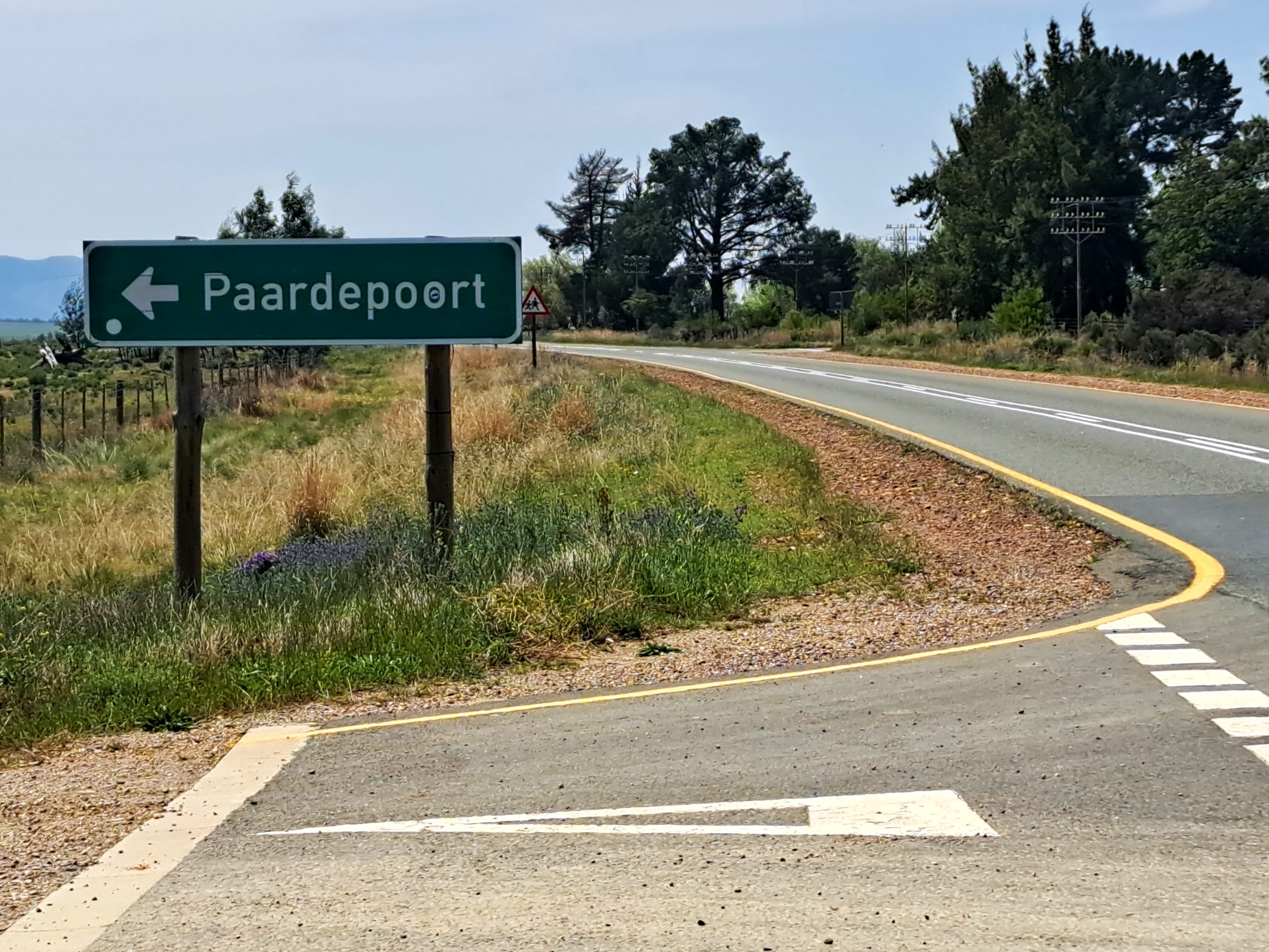
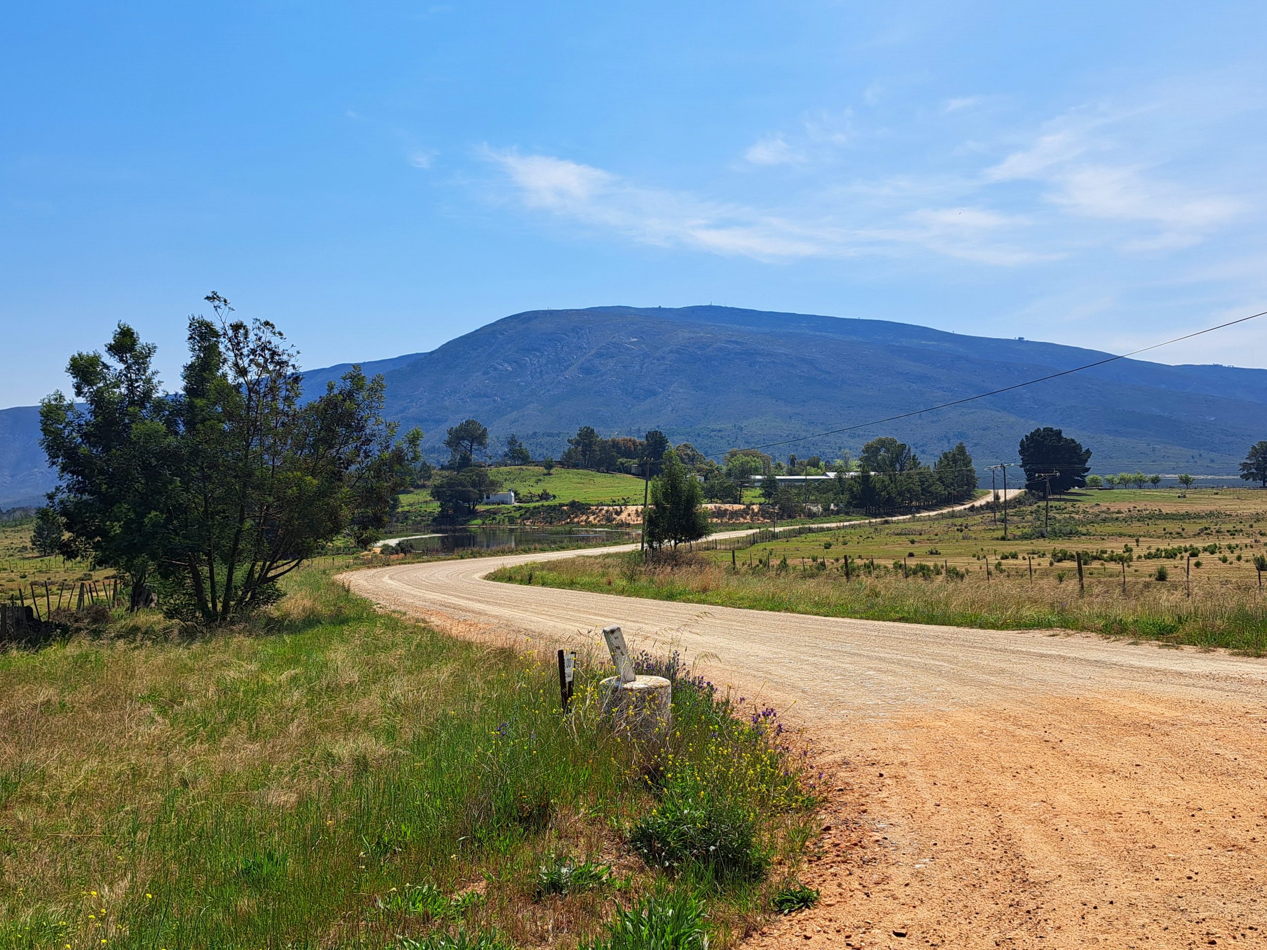
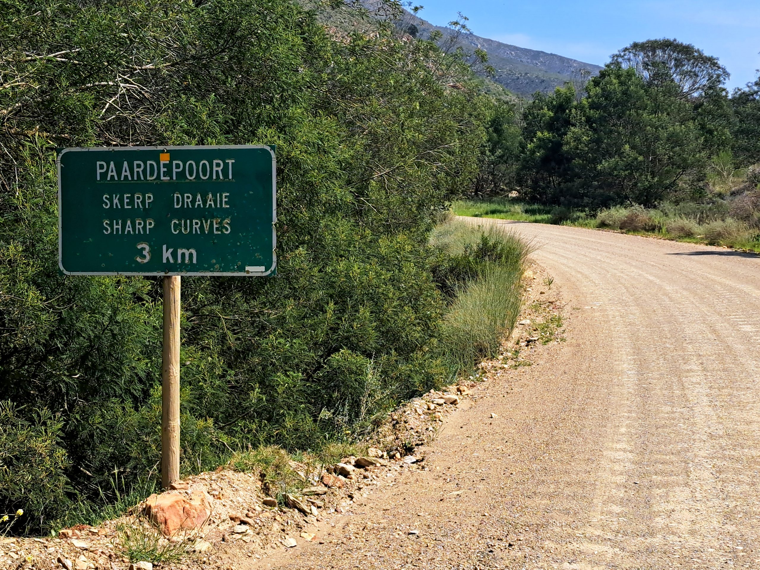
Across the plain, just before entering the poort through the mountains, there is a rather discreet sign announcing that you are entering Paardepoort.
It also warns you about the sharp curves ahead.
As you enter the poort, keep an eye on the opposite side of the river.
You will notice something remarkable.
The old road
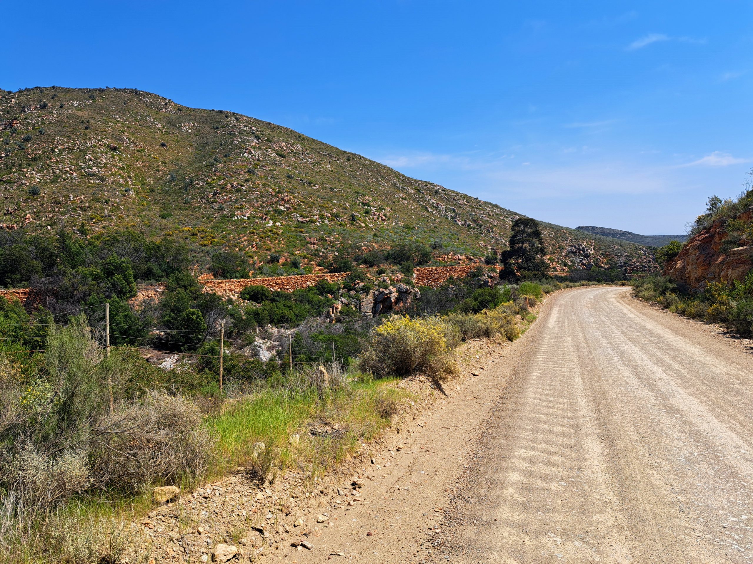
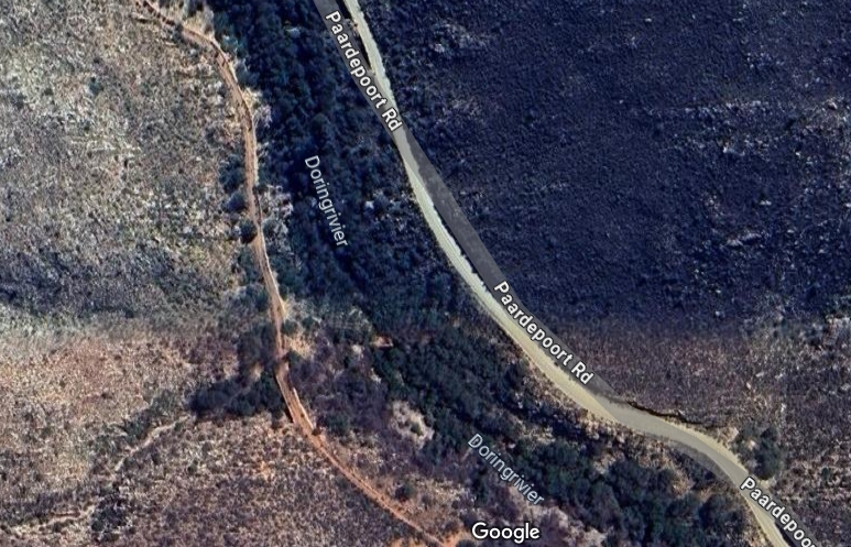
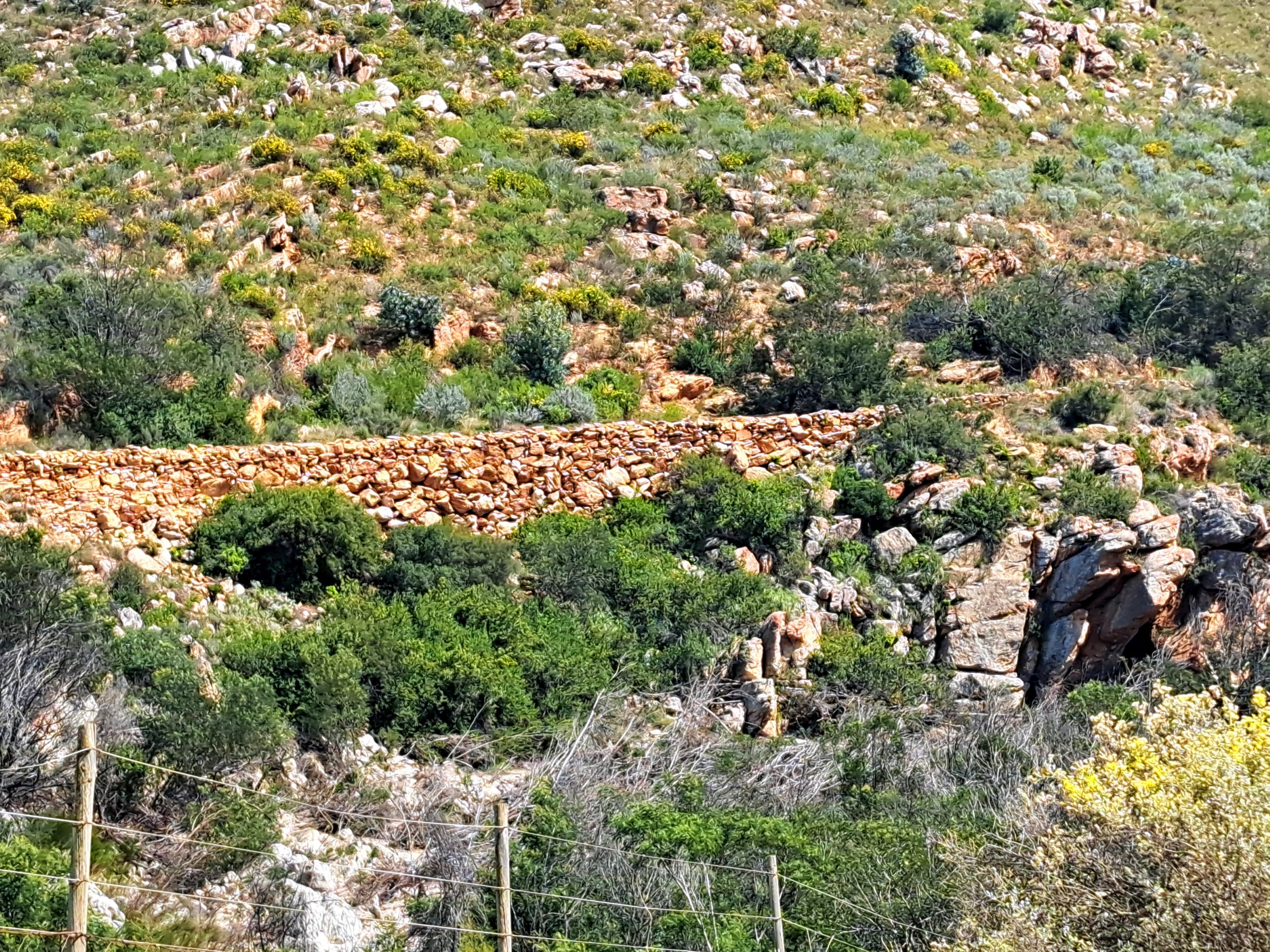
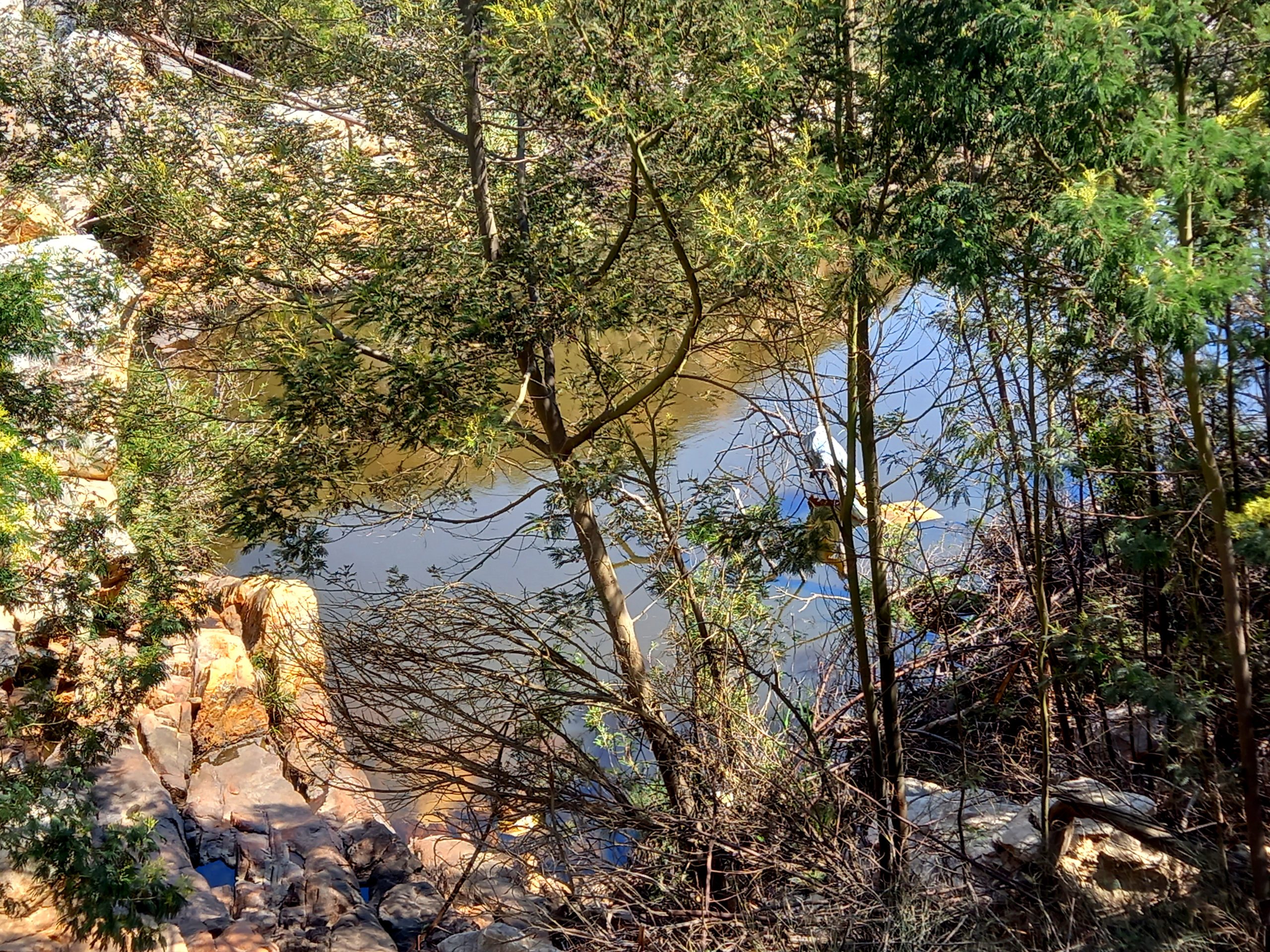
On the opposite bank of the Doring River, the remains of the original road are still visible.
Built using dry-stone construction methods, with substantial retaining walls supporting the road above the river, it is reminiscent of the magnificent stonework found along the Swartberg Pass.
According to Mountain Passes South Africa, the convict labourers who had worked on the Montagu Pass were subsequently transferred to Paardepoort.
With the completion of the Montagu Pass in 1848, extending the road northwards towards Oudtshoorn was a natural progression.
The original road, which opened in 1850, followed the western bank of the Doring River.
It was only wide enough for a single vehicle, although provision had been made for passing in places.
Imagine negotiating this narrow road with an ox wagon!
A road following the river
The newer road, built on the eastern bank during the 1930s, offered a safer and wider route.
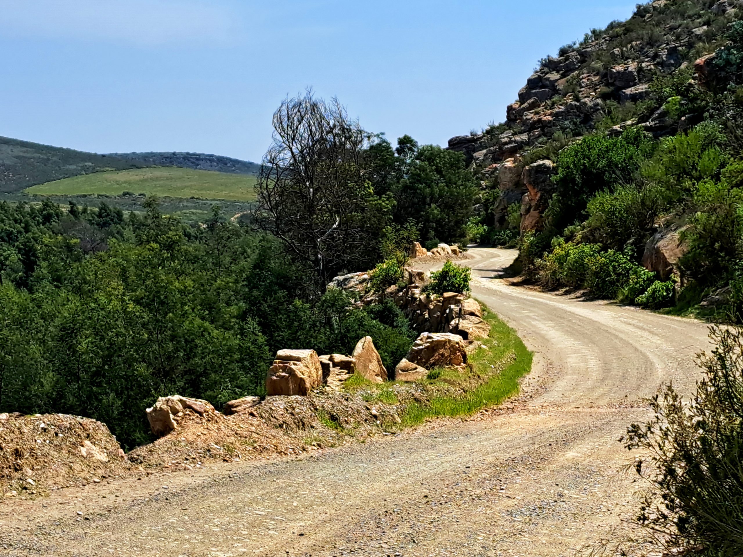
Much of it was blasted out of the rock face, and although wider than its predecessor, it remains fairly narrow in places.
The scenery is wonderful.
The road winds through the poort, faithfully following the course of the river for several kilometres.
And the stonework on this newer road is a work of art in itself.
This is one of those places where it pays to travel slowly. Not because you necessarily have to, but because there is simply too much to see.
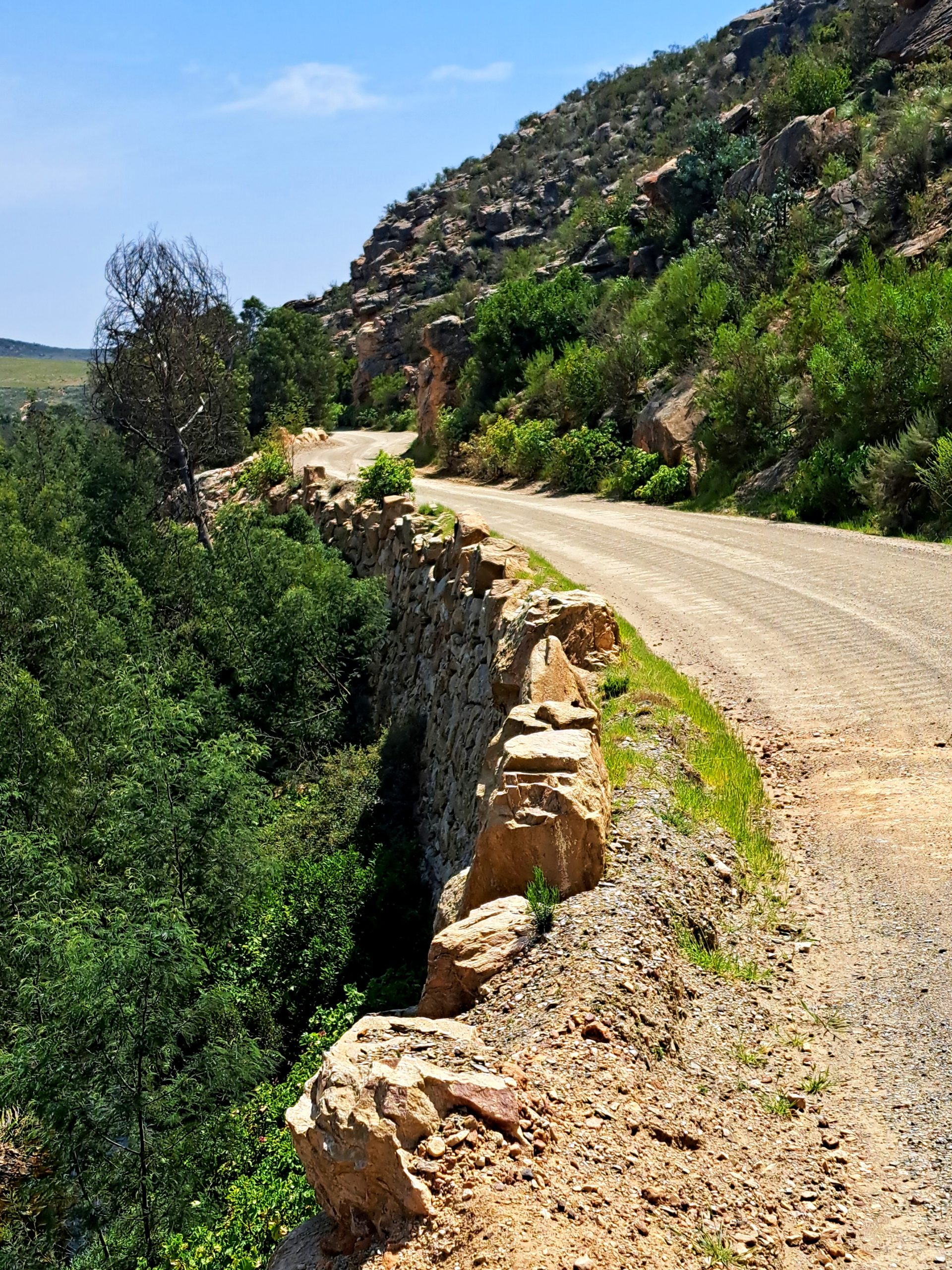
At one point, the river forms a lovely pool.
On a hot day, it is a tempting place to stop for a swim.
Just make sure that you park safely, well clear of the road, and assess the water conditions before entering.
This is the sort of little discovery that makes travelling the back roads so rewarding.
You may have set out simply to ride a scenic road, but you end up discovering places where you want to spend an entire afternoon.
And speaking of riding, this is one of my favourite photographs of myself on a motorcycle.
It was taken by Rob Till during the launch of the BMW R 1250 GS, when we travelled through Paardepoort in the opposite direction.

The centre of the world
Exiting Paardepoort into the Klein Karoo proper, you travel a short distance before reaching a crossroads that my friends and I call the centre of the world.
Well, the centre of the world if you happen to be an adventure biker.
We sometimes even meet here before heading off on a ride.
Why?
Because from this point, you can go just about anywhere!
Head south, and you travel through Paardepoort towards the Outeniqua Mountains. When the historic Montagu Pass is open, it provides a wonderful connection to George. From there, you could continue all the way to Cape Agulhas, the southernmost point of Africa, even crossing a river by pontoon along the way.
Head east, and your adventures could take you through Baviaanskloof, Addo and Lesotho, onwards towards Mozambique. Hop across the water and you could even explore Madagascar!
Head north, and you have the Swartberg Pass, the Karoo and the rest of Africa ahead of you. Keep dreaming big enough, and who knows? Perhaps even Russia and the famous Road of Bones.
Or head west towards the Cederberg and the West Coast. And if your imagination is really running wild, cross an ocean and continue exploring South America.
All of that from one little crossroads in the Klein Karoo.
That’s why I love this place.
On towards Mount Hope
Today, however, we are not travelling quite that far.
We head east.
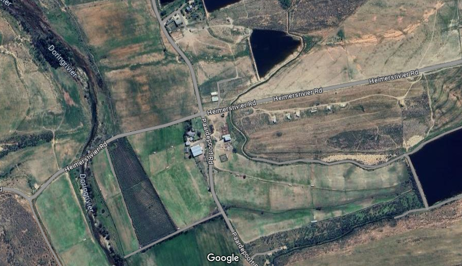
The next stretch of approximately 8 km brings us to the N12, where we turn right towards Oudtshoorn.
But only for about 800 m.
Then it is time to leave the tar again, turning left towards Zebra.
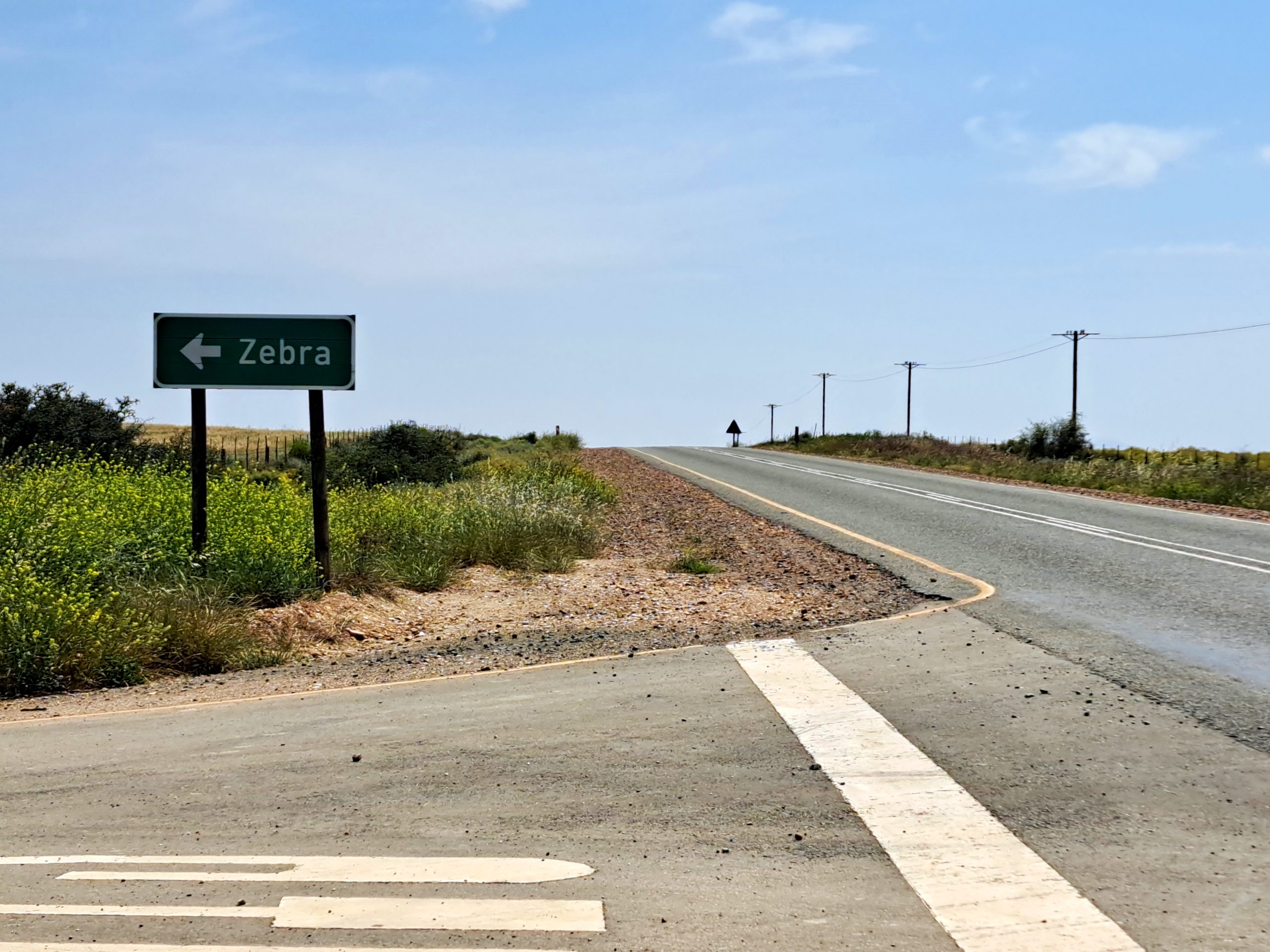
This is probably the only section of the route where navigation can become a little confusing.
After approximately 3 km, keep left at the first turn-off. At the Y-junction, keep right.
The important thing is to follow the signs towards Mount Hope.
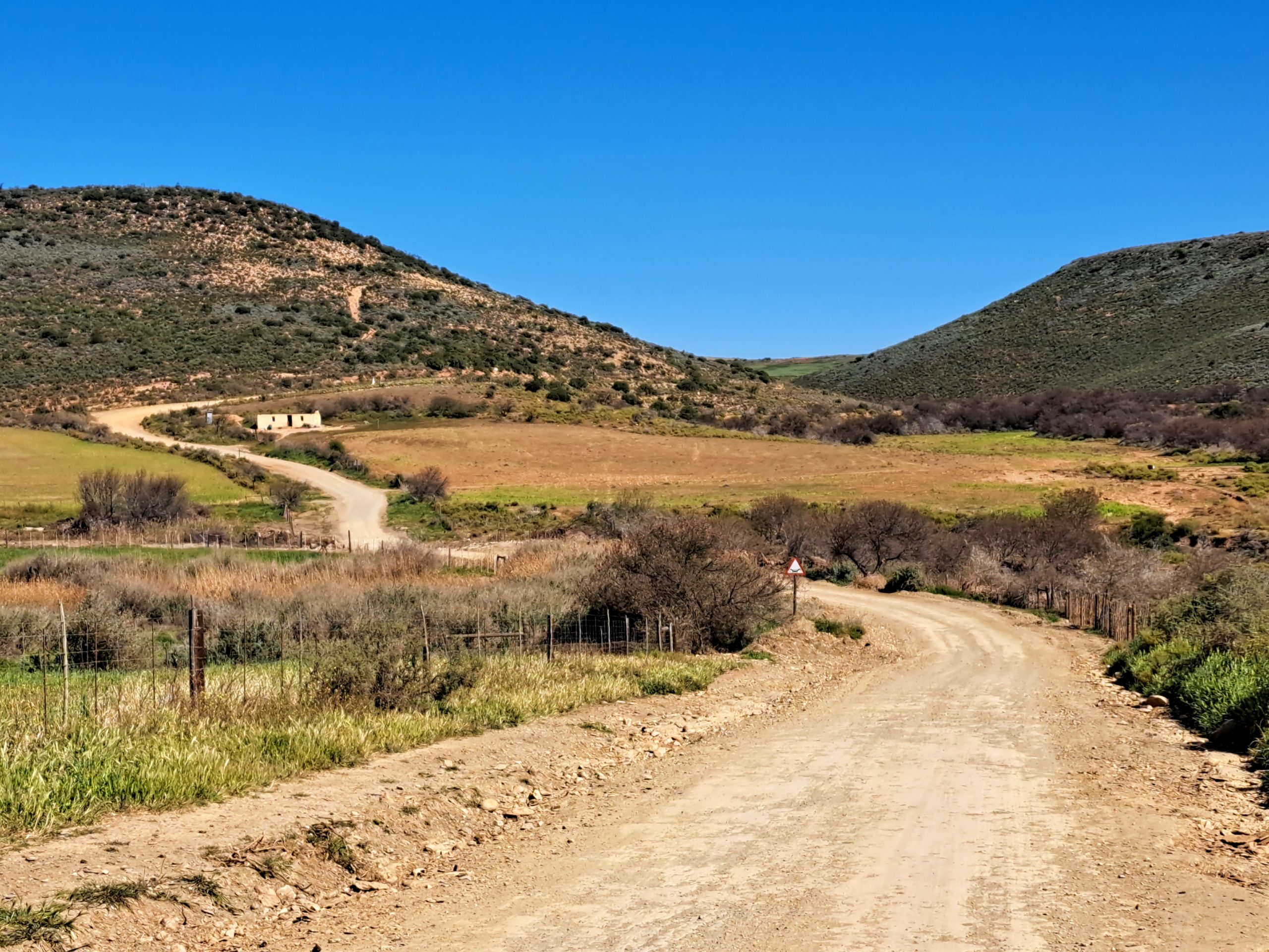
Once you are on the correct road, you can relax and enjoy the Klein Karoo scenery.
The landscape changes with every season and is particularly beautiful after good rains.
There is something about this part of the country that never grows old.
One month it is dry and dusty, with the colours of the Karoo dominating the landscape. A few weeks after rain, the same hills and valleys can look almost completely different.
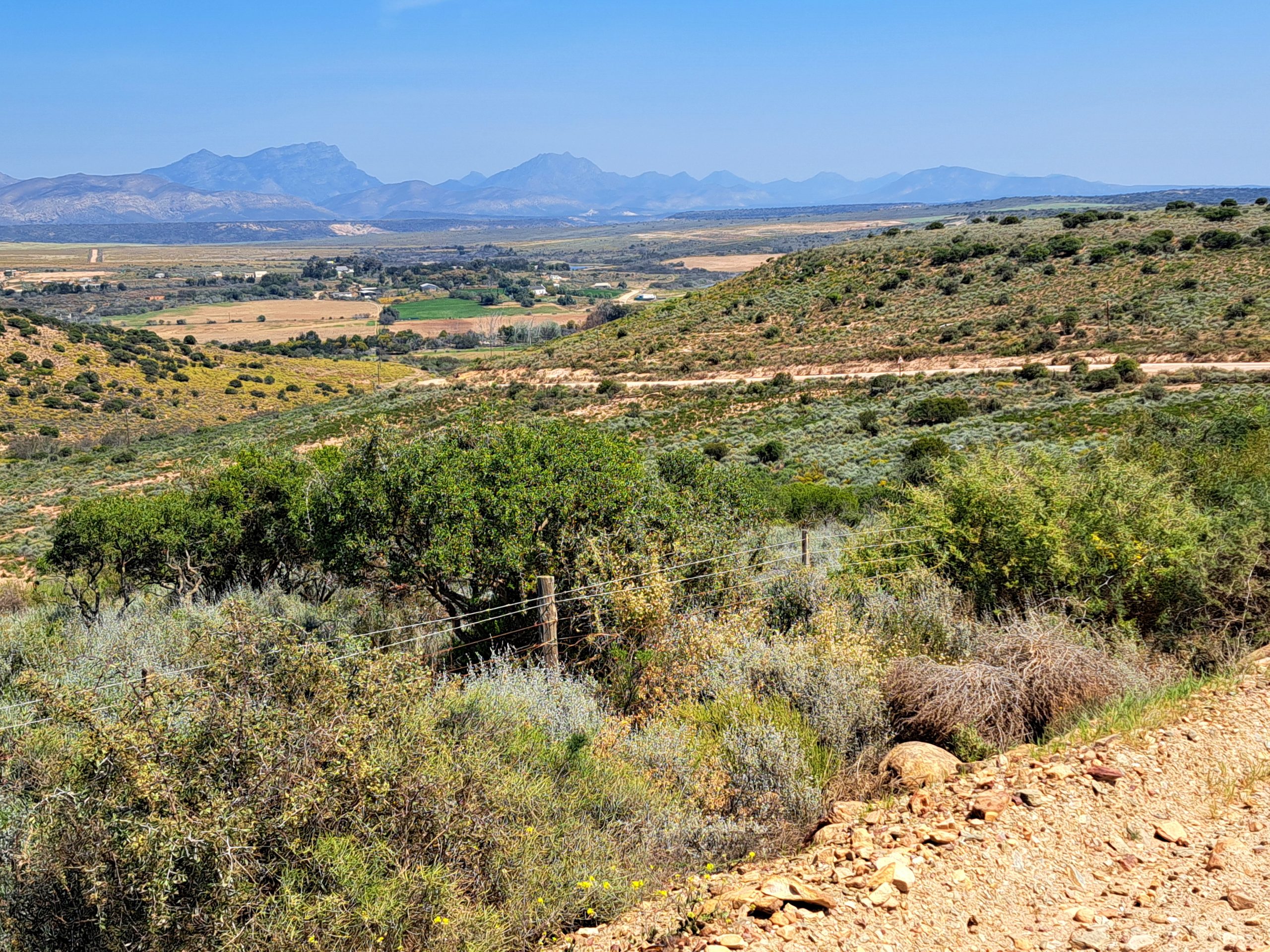
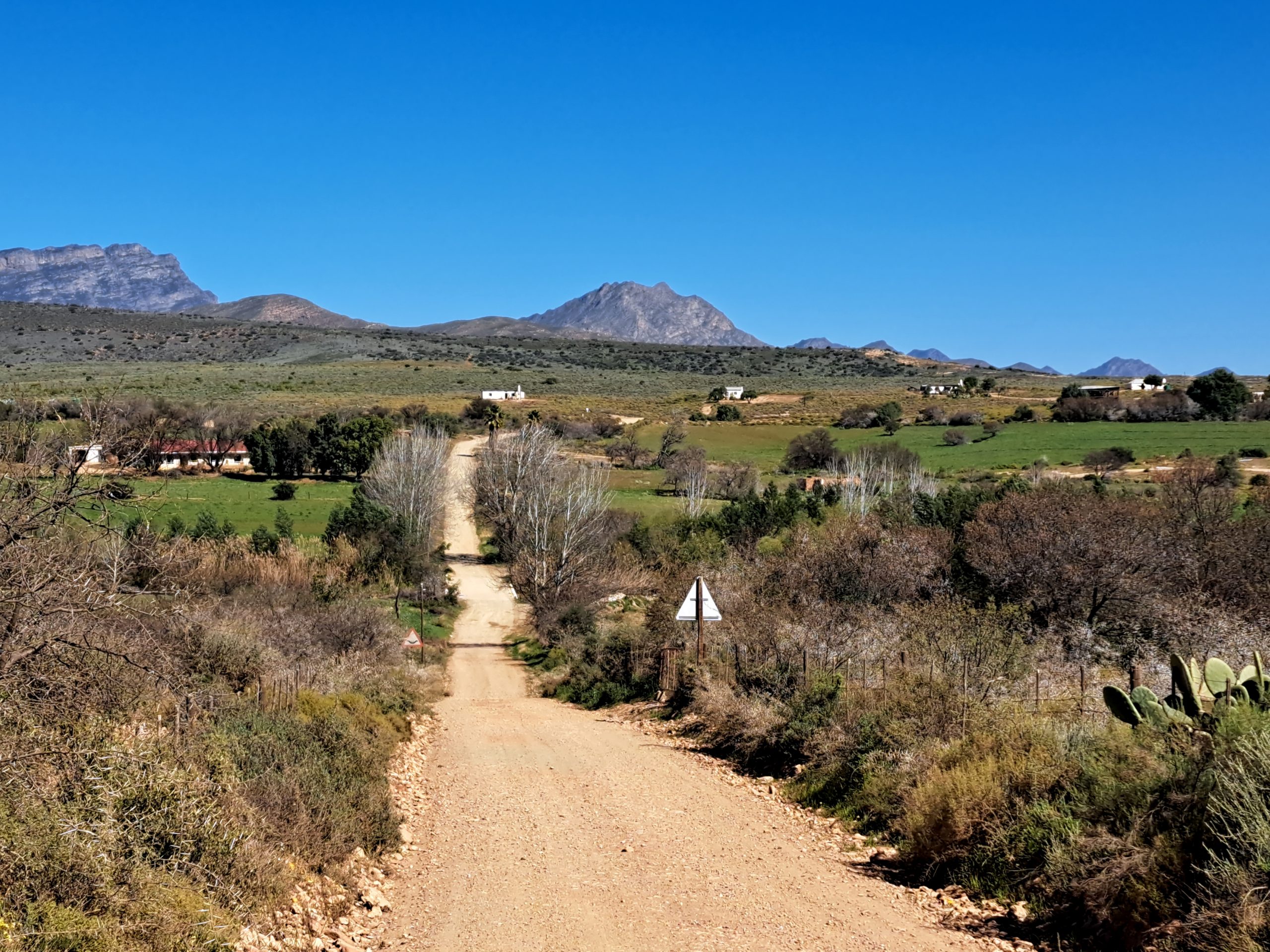
Approximately 12 km after the Zebra turn-off, the main route bends right.
You can continue straight, but the road we are following makes a fairly obvious right-hand turn.
From here, the road climbs over some higher ground, eventually reaching a natural viewpoint overlooking the surrounding countryside.
There is a small clearing at the top, perfect for stopping, enjoying the view and perhaps having a roadside braai.
Incidentally, we have written about that great South African tradition in The Art of the Roadside Braai.
Sometimes, all you need is a quiet gravel road, a beautiful view and somewhere to make a fire.
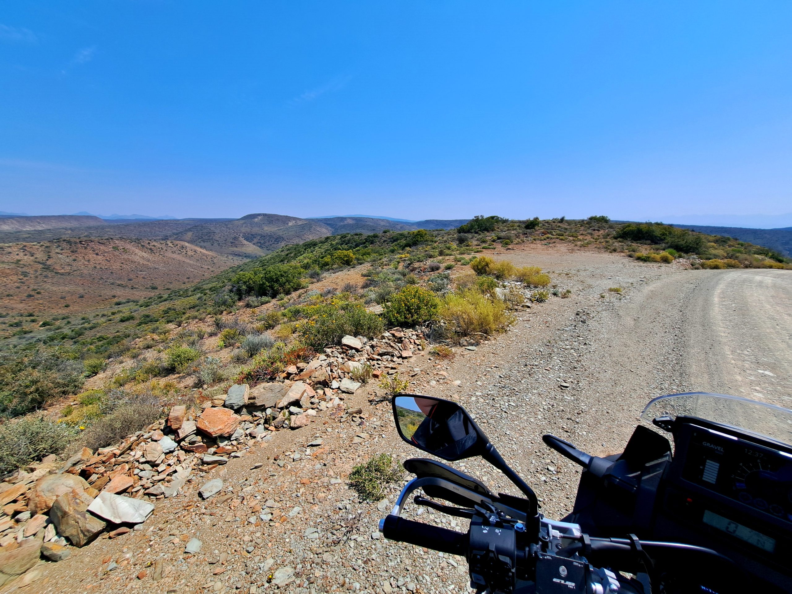
From here, the road drops into a green valley and continues downhill towards the river.
It is another lovely stretch of road, with the surrounding hills and farmland creating a completely different atmosphere from the rocky walls of Paardepoort.
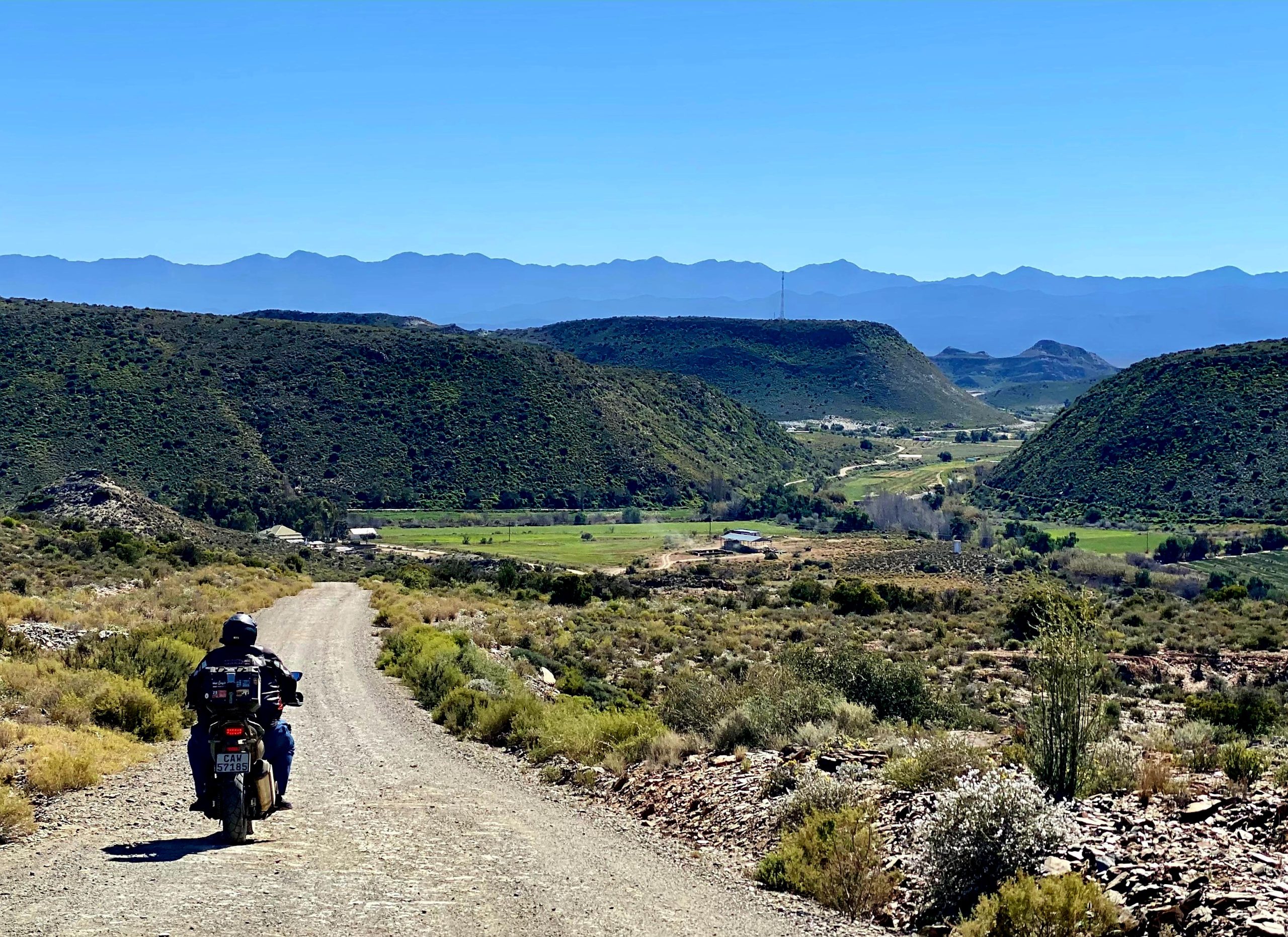
And all too soon, it is over.
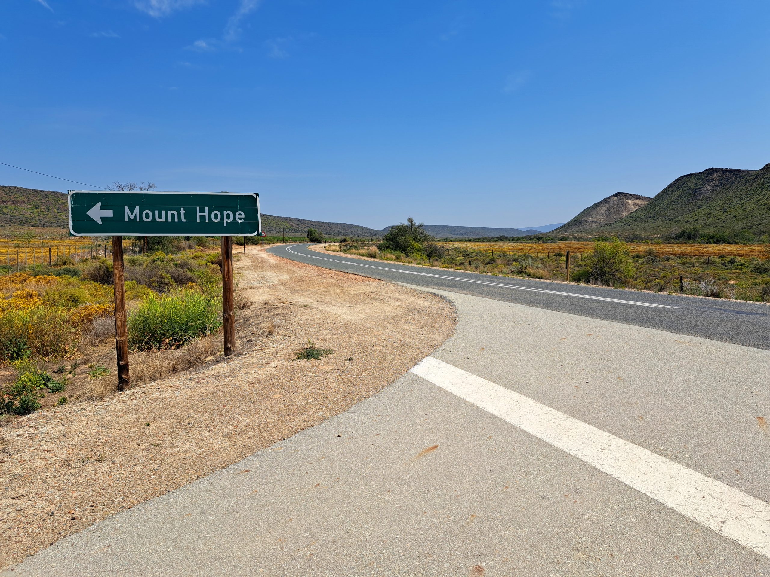
The road meets the R328 between Oudtshoorn and Mossel Bay.
If you would prefer to travel the route in reverse, this is where you would start.
The sign at the junction says Mount Hope.
Discovering roads
When planning and discovering routes like this one, we make extensive use of Tracks4Africa and Slingsby paper maps.
And yes, you really can discover routes on a map.
There is something very special about spreading a proper paper map across a table and seeing roads and places you never knew existed.
I’ve written more about that in Viva die Papierkaart.
These maps are an investment in your adventuring life and well worth it.
Another investment I happily recommend is a subscription to Mountain Passes South Africa.
This is not a paid endorsement. I recommend it because I have personally found it extremely useful.
Much of the historical information about Paardepoort came from its research.
I had known about Paardepoort and ridden through it for more than ten years, yet I still learned a great deal about the pass after joining Mountain Passes South Africa.
If you enjoy exploring our country, it is a remarkable resource.
And Paardepoort itself?
Well, it is one of those little roads that reminds me why I love travelling.
It is not about covering distance or reaching a destination in record time.
It is about the places you discover along the way.
Route note, November 2026: The historic Montagu Pass remains closed to traffic while flood-damage repairs continue, with reopening now expected during 2027. The Paardepoort and Mount Hope route described here is approached from the N9 near Herold and does not require travelling over the closed Montagu Pass. As always, check current road conditions before setting off, particularly after heavy rain.
Historical reference: Mountain Passes South Africa, Paardepoort (P1646).